
From Île Bouchard to Sazilly
L'Île-Bouchard
From Île Bouchard to Sazilly
Easy
1h
6,2km
+0m
-1m
Crossing
Embed this item to access it offline
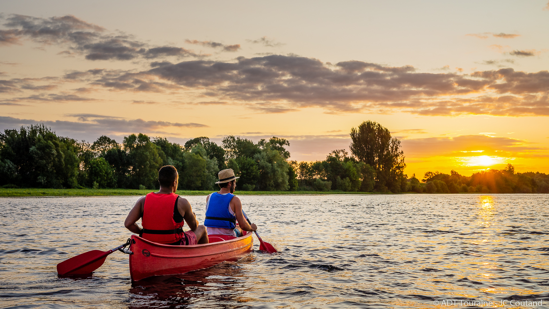
Along this peaceful descent of the Vienne, you will find small villages and the typical landscapes of alluvial valleys; limestone hillsides or floodplains.
Description
- Ile Bouchard
The bridges, emblems of the town, are the reason for the union in 1832 of the communes of Saint-Gilles (to the north) and Saint-Maurice (to the south). The Saint-Maurice district houses one of the oldest Romanesque buildings in France: the Saint-Léonard Priory, built around 1067. Nearby, the former station houses the Museum of Local Traditions. - Sazilly
The Church of Sazilly was built at the end of the 12th or the beginning of the 13th century on the site of a Gallo-Roman building; it belonged to the Abbey of Marmoutier. The square bell tower, whose spire had already collapsed by 1818, is later than the nave, as evidenced by the buttress and the cornice with modillions that runs along the southern eaves wall, both visible inside the bell tower. The restoration of the bell tower and the construction of a belfry to support the bells were completed in April 1999.
- Departure : Île Bouchard - port Besnard
- Arrival : Île Bouchard
- Towns crossed : L'Île-Bouchard, Tavant, Panzoult, Sazilly, and Cravant-les-Côteaux
Forecast
Altimetric profile
Recommandations
SAFETY
• You must be able to swim at least 25 meters and be confident under water.
• You are required to wear a proper life jacket and shoes that will not slip off.
• Take care when approaching bridges and always take the marked channel
• Follow the instructions on this sheet and heed the warnings of th hire crew.
• Weather conditions and water levels can be unpredictable. Information on this sheet is for guidance purposes only and is based on optimum conditions.
• Be cautious of cyanobacteria present in the Vienne River: learn more.
WATERWAY CODE
• Only disembark in designated areas. Do not try to land on the small islands and sandy banks where you could endanger ground-nesting birds.
• Many of the islands shown on the map are private property.
• Respect our wildlife: keep noise to a minimum.
• Do not litter. Take your rubbish home with you.
• Do not tie up to the marker buoys. They could be displaced and give misleading information.
• Be aware that other people use the waterway too.
REMEMBER : YOU ARE RESPONSIBLE FOR YOUR OWN SAFETY
Information desks
4 Rue du Château, 37190 Azay-le-Rideau
1 Rue Rabelais,, 37500 Chinon
Rd 910, 37250 Montbazon
Place du Marché, 37120 Richelieu
77 Av. du Général de Gaulle, 37800 Sainte-Maure-de-Touraine
Access and parking
Parking :
Port Besnard is easily accessible from the D757
Report a problem or an error
If you have found an error on this page or if you have noticed any problems during your hike, please report them to us here: