
Benais, the double life of the hillside
Benais
Benais, the double life of the hillside
Easy
2h
4,6km
+57m
-57m
Loop
Embed this item to access it offline
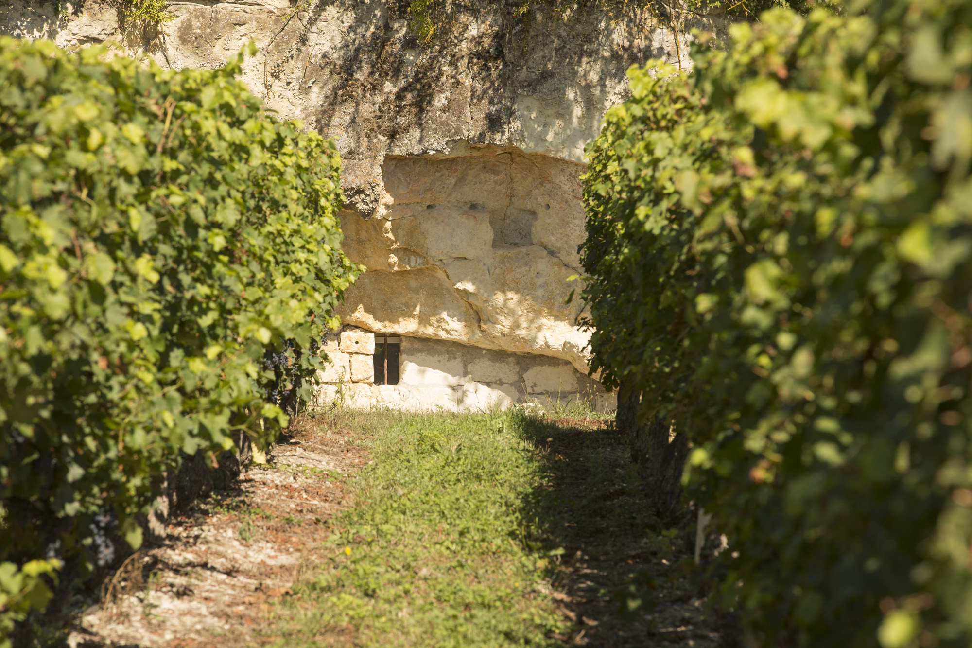
Benais opens its doors to two worlds. On one side, the green hillsides where vines flourish. On the other, that of the tuffeau, the source of the surrounding churches, castles and houses. These two intimately linked worlds have given rise to a unique landscape, punctuated by astonishing constructions: troglodytic caves.
Shelters, dwellings, storage areas... these caves were home to a veritable "civilization", and the trail invites you to discover the evidence! From the very first stations, take a trip back in time to the birth of tufa stone, then visit a troglodyte house thanks to the playful installations.
Shelters, dwellings, storage areas... these caves were home to a veritable "civilization", and the trail invites you to discover the evidence! From the very first stations, take a trip back in time to the birth of tufa stone, then visit a troglodyte house thanks to the playful installations.
Attachment
- Downloadpdf
La double vie du coteau
Description
In front of the church, go to the starting station on rue de l'Ancienne Mairie, to the right of the church.
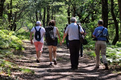
Follow the red arrows on the wooden posts from station to station.
Follow the red arrows on the wooden posts from station to station.
- At the starting station, turn right into rue de l'Ancienne Mairie, then left into rue Saint-Vincent. Walk 350m to find the 1st discovery station. Turn right onto the small Vinum Cellars road for 200m. On the way, find the 2nd station. Turn right onto a path between a grove and a field of vines.
- At the end of the path, turn left onto Rue des Caves Caillots. 170m further on, find the 3rd station and continue straight on. When the road splits in two, take the right-hand path.
- At the end of the vineyard, fork left, then left again to go around the plot and return to rue des Caves Caillots. Cross the street and continue straight ahead until you reach the main road.
- Cross the main road and continue straight ahead for 700 m on the small road between the vines. On the way, observe the 4th and then the 5th station. At the end of the road, turn left onto the Route de Grand-Mont for 250m to reach the 6th station. Shortly after the station, at the intersection, turn slightly left and drive 180m along the route de Grand-Mont.
- At the crossroads, turn left onto the gravel path alongside a parking lot. Continue for 350m to the 7th station. At the intersection, go straight on for another 260m.
- Turn right to find the 8th station. Continue straight on for 200m. Turn left on Route des Raguenières to the main road. Turn right for 300m to reach the starting point.
- Departure : Rue de l'ancienne Mairie
- Arrival : Rue de l'ancienne Mairie
- Towns crossed : Benais
Forecast
Altimetric profile
Information desks
16, pl. de l’église, 37140 Bourgueil
19, rue Thiers, 37130 Langeais
Accessibility
- Accessibility level :
- Beginner
- Emergency number :
- 15, 17, 18, 112
Report a problem or an error
If you have found an error on this page or if you have noticed any problems during your hike, please report them to us here: