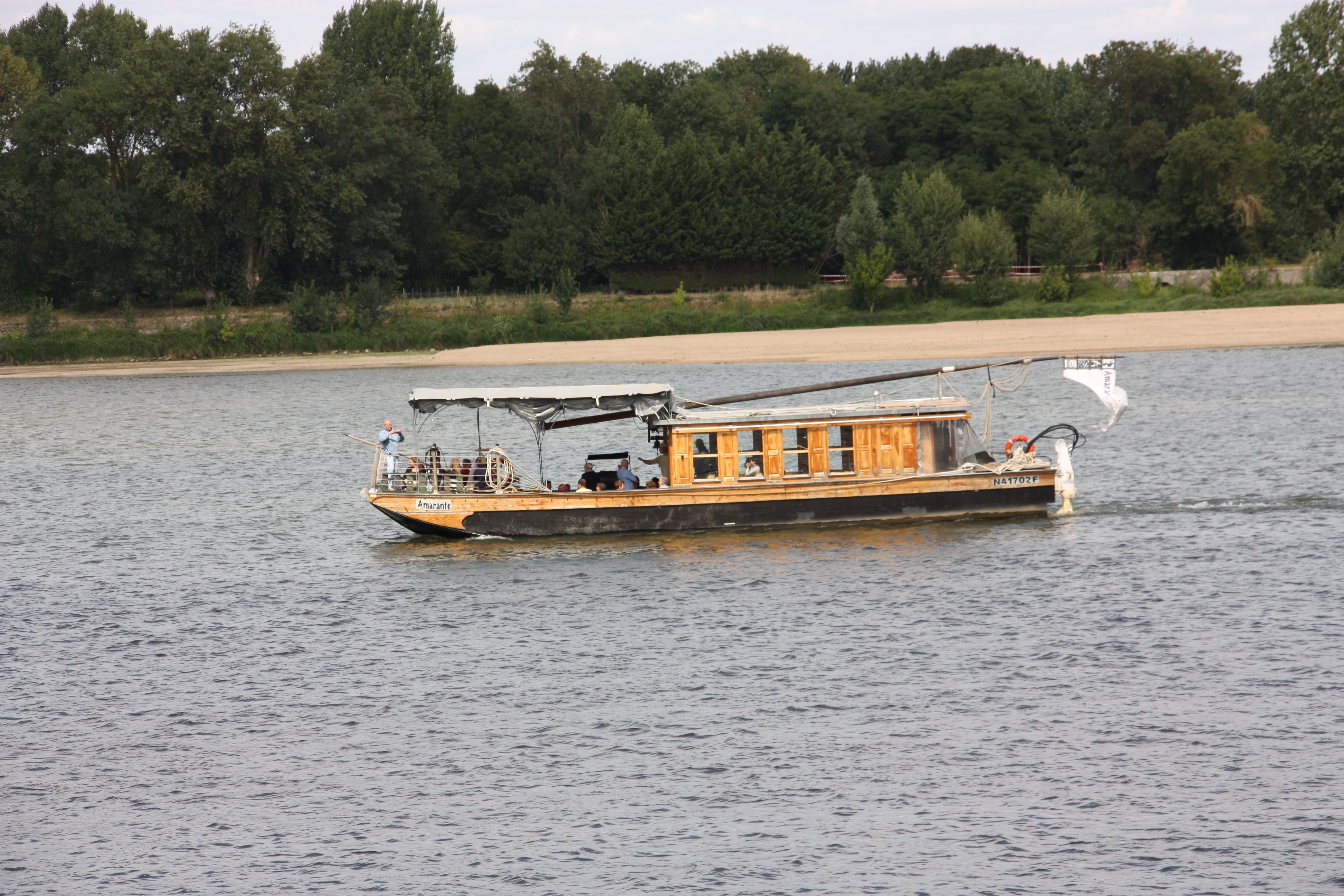
Heritage tour - In the time of the Loire bargemen

Montsoreau
Heritage tour - In the time of the Loire bargemen
Easy
2h
4,4km
+103m
-102m
Embed this item to access it offline
The heritage circuit invites you to understand, through the story of an emblematic character, a piece of the local history.
From Montsoreau to Candes-Saint-Martin, plunge more than a century back in time and let yourself be guided by Simon, boy and fellow sailor. The creaking of boats and the clattering of sails, the clatter of unloading, shouting and swearing... use your imagination and follow in the footsteps of the sailors who lived through the last golden days of the Loire navy in the second half of the 19th century. Relive the great moments that marked these two Loire villages, and discover places still inhabited by the vestiges of their history.
From Montsoreau to Candes-Saint-Martin, plunge more than a century back in time and let yourself be guided by Simon, boy and fellow sailor. The creaking of boats and the clattering of sails, the clatter of unloading, shouting and swearing... use your imagination and follow in the footsteps of the sailors who lived through the last golden days of the Loire navy in the second half of the 19th century. Relive the great moments that marked these two Loire villages, and discover places still inhabited by the vestiges of their history.
Attachment
- Downloadpdf
Au temps des mariniers de Loire
Description
Before you set off, don't forget to print out the discovery booklet you'll need for this walk. It's also available for €1 at the Maison du Parc on avenue de la Loire in Montsoreau.
Departure point is at the old quay in Montsoreau. Starting point along the Loire, on the square to the right of the salle des fêtes at the entrance to the quays.
Use the discovery booklet and ground markings as a guide.
Departure point is at the old quay in Montsoreau. Starting point along the Loire, on the square to the right of the salle des fêtes at the entrance to the quays.
Use the discovery booklet and ground markings as a guide.
- The first station is downhill from the quays. Go up the quays towards the road and take the ruelle Marie de Châteaubriand to the left of the "Dentellière de Montsoreau".
- At the top, turn left and continue for 250 m to reach the second beacon. Continue straight on for 300 m, then take the stairs on the left to reach the banks of the Loire. Continue straight on to Candes-Saint-Martin.
- Turn left on rue de la Vienne. At the bottom of the street, turn right and go straight on for about 250m. Turn right into rue Saint-Martin at the fourth marker, referring to the booklet. Follow the street up to the collegiate church, then turn slightly right into rue Saint-Maurice.
- At the top of rue Saint-Maurice, turn left towards the panorama, or right to continue on the heritage trail. Follow rue Trochet to a small parking lot, where you'll find the fifth marker. Then continue right for 300m along rue du puits Saint-Michel.
- Find the sixth marker using the booklet. Continue along rue du puits Saint-Michel and turn left into rue de Gueule Noire. At the end of the lane, turn right into ruelle des Ouches. Continue for 100 m, then turn slightly left into chemin du Coteau to find the seventh marker. Continue straight on for 500 m, then fork left into ruelle Bussy d'Amboise. At the end of the lane is a small parking lot and a patch of grass. After the parking lot, turn right down rue André Obey and left again.
- Go down rue André Obey and turn right into place du Mail, where you'll find the eighth and final signpost.
- Departure : Place du Mail
- Arrival : Place du Mail
- Towns crossed : Montsoreau and Candes-Saint-Martin
Forecast
Altimetric profile
Recommandations
Panoramic view
Information desks
15 Avenue de la Loire, 49730 Montsoreau
Report a problem or an error
If you have found an error on this page or if you have noticed any problems during your hike, please report them to us here:
