
The Old Cher hike
Bréhémont
The Old Cher hike
Medium
4h45
18,9km
+120m
-120m
Loop
Embed this item to access it offline
Attachment
- Downloadpdf
BREHEMONT_balade_vieux_cher-2025-IMPR
Credit: Balade du vieux Cher - Bréhémont - Touraine Vallée de l'Indre
Description
- Eglise Sainte Marie-Madeleine: Built in 1843, this church dominates the village and features two distinctive features: a west-facing choir and 5 windows created in 1846 by glass painters Galimard and Laurent.
- Vanne: Seepage water from the Loire and Vieux Cher rivers is collected in ditches called Lannes. When the fields were flooded, each hamlet opened its sluice gate with a crank to let the water out.
- Communal hemp oven: Hemp cultivation flourished in the 18th and early 19th centuries, as its fiber was used to make sails and marine ropes. Hemp ovens, of which there are many in Bréhémont, are rectangular, built of stone and covered with a gable or pavilion roof.
- Milly fortified farm: A private manor house and former seigniorial dwelling built in the 15th century, it was remodeled in the 18th and 19th centuries. A dovecote-porch topped the front door. Boulins (pottery pigeon nests) can still be seen on the two side walls. Part of the moat is still visible in the north-west corner.
- Former confluence of Cher-Loire and Rupuanne
- Former confluence of Cher-Loire and Rupuanne: the Vieux Cher flowed into the Loire at a place called Rupuanne before being dammed in 1803. Rupuanne is a hamlet of vernacular houses. The different periods are clearly marked, with low 18th-century houses rising in the 19th century. Continuing on, you enter a sensitive natural area, the Bardeaux de l'Indre.
- Routoir de la "Butte aux Oies"
- Routoir de la "Belette": Pits where you can still find the often cubic piles of stones used to immerse bales of hemp, known as "échaillots". Built from the 1870s onwards, the routoirs correspond to the places created for retting.
- Manoir de Bray: A former 16th-century dwelling, in 1555 it was the fiefdom of François de Raynier. Its fuye (dovecote) was used until the 18th century.
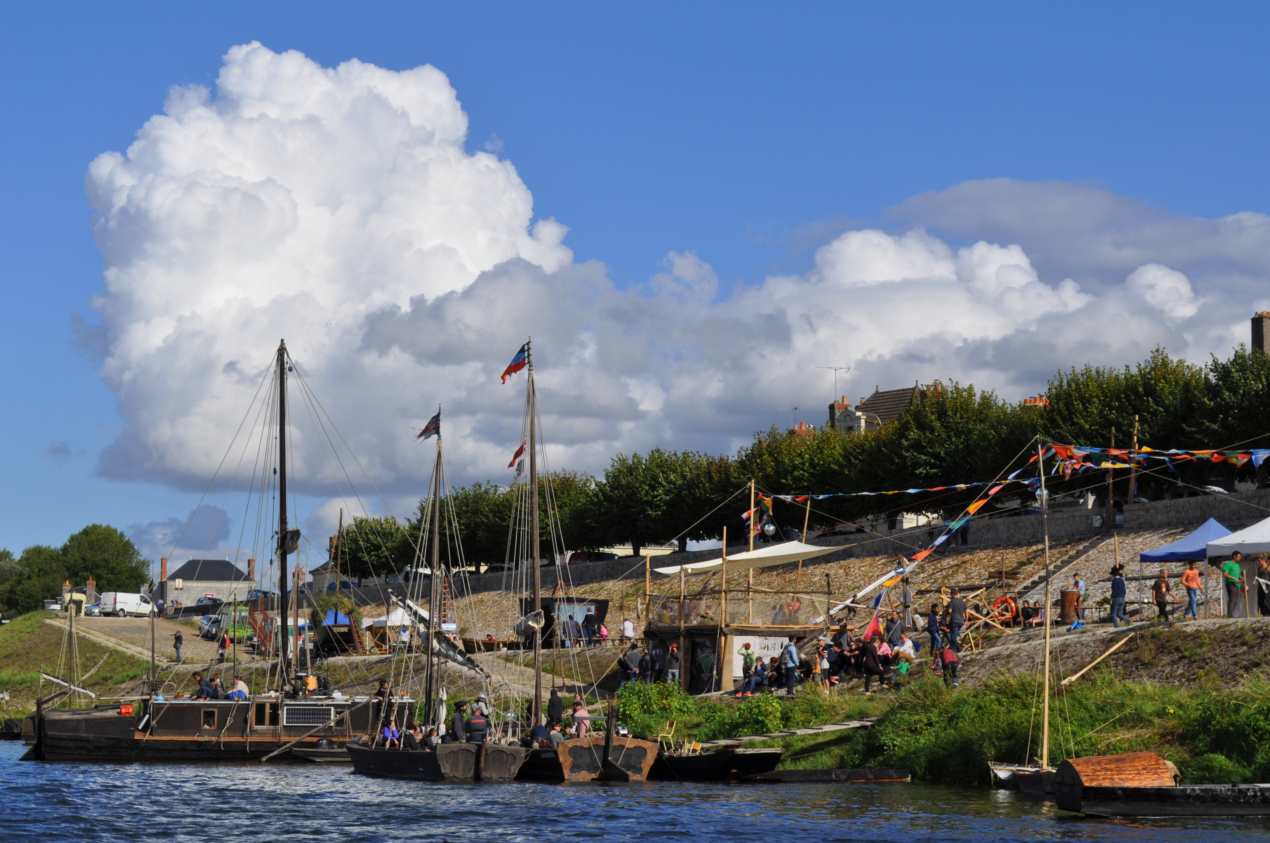
- Port de Bréhémont : This port bears witness to major commercial activities in the 18th and 19th centuries, generated by hemp growing and fishing. Its distinctive feature is the presence of 2 ramps facing each other. On the quayside, you can see a "toue cabanée" (the last salmon and shad fishing boat). Opposite the harbor, you'll find mansions with facades and lintels featuring tufa stone carvings. Also worth seeing are the two urinals known as "pissotières", dating from 1872, and the municipal prison near the church.
- Departure : Picnic area (by the Place du 8 Mai)
- Arrival : Picnic area (by the Place du 8 Mai)
- Towns crossed : Bréhémont, Rigny-Ussé, and Lignières-de-Touraine
Forecast
Altimetric profile
Information desks
4 Rue du Château, 37190 Azay-le-Rideau
Report a problem or an error
If you have found an error on this page or if you have noticed any problems during your hike, please report them to us here: