
Through valleys and plateaux - Saint-Épain
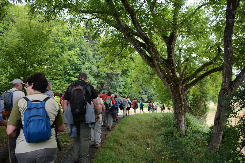
Saint-Épain
Through valleys and plateaux - Saint-Épain
Easy
3h30
13,8km
+117m
-118m
Loop
Embed this item to access it offline
Description
- Departure from Place de la Mairie. The commune owes its name to Epain, son of a Moor (4th century), who was converted and baptized by Saint Martin, then bishop of Tours; he was beheaded in Theillé, because he refused to recant his faith.
- Crossing the village, you'll discover a rich heritage of buildings, including the church dedicated to Saint Épain. Dating from the 12th century, it was enlarged in the 13th, 15th and 16th centuries. Adjacent to the building, a fortified gateway, a remnant of the 15th-century enclosure, and the Hôtel de la Prévôté form a valuable site.
- The path along the banks of the River Manse offers an intimate view of the valley floor and surrounding hillsides, woods and wet meadows.
- Crossing the bridge offers a beautiful view of the Manse valley, its relief and abundant vegetation.
- As you climb the hillside, you'll discover one of the best-restored mills on the Manse: the 15th-century Moulin des Roches.
- In the distance on this road, you can see the Besnault viaduct, 333m long with its 15 arches 31m high. It was inaugurated by Louis Napoléon Bonaparte in 1852.
- You now pass the Caves Furettes and discover a traditional troglodytic dwelling. At the time, these excavations in the rock were used to protect against the cold in winter and avoid the heat in summer. These dwellings dug into the tufa rock could also be used to store crops.
- As you move away from La Milletière, you see a completely different landscape: a gently undulating plateau with, in some places, unobstructed views of crops and isolated hamlets.
- At the entrance to the wood, you'll find a calvary. The cross is a Catholic religious symbol that was widespread from the 16th century to the present day. They guide travellers and protect them from the unknown and from bad encounters.
A little further on, you can return directly to Saint-Epain (3km). - Your attention is now drawn to the "Porte Neuve". This southern entrance to Montgoger park consists of two turrets linked by a small room with a fireplace above the door. The building was remodeled in the Renaissance style in the late 15th century.
- The path skirts the Montgoger state forest, crossing vast expanses of cultivated land.
- At the end of this wooded path, a magnificent renovated farmhouse appears on the right.
- A little further on, the ruins of Château de Montgoger come into view. Dating from the 11th century, this feudal residence was once a seigneury, but was partially destroyed by two fires in 1883 and 1943. On the right, you can see the Tour de l'Homelaye, the remains of a Minimes priory.
- As the walk draws to a close, you can admire the Deneux wash-house, and enjoy the lake and its picnic tables. An oratory dedicated to Notre-Dame-de-Lourdes is nearby.
- Departure : Town hall square
- Arrival : Town hall square
- Towns crossed : Saint-Épain and Noyant-de-Touraine
Forecast
Altimetric profile
Report a problem or an error
If you have found an error on this page or if you have noticed any problems during your hike, please report them to us here: