
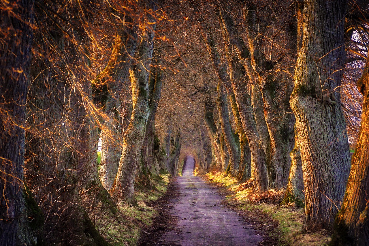
Huismes walking trail - Route N°2
Huismes
Huismes walking trail - Route N°2
Medium
2h30
12,8km
+167m
-165m
Loop
Embed this item to access it offline
Description
- On the right is La Tourette, a former monastery dating from the late 15th century.
Cross the D6 for an interesting view of the end of the plateau of the Chinon forest. - You will pass two manor houses: Cour Neuve and Moucheau.
- Past the hamlet of Les Rivières, you'll see an old hemp oven and, further on, a string of old houses.
- Mont Sigout.
- Departure : Town hall square
- Arrival : Town hall square
- Towns crossed : Huismes
Forecast
Altimetric profile
Information desks
4 Rue du Château, 37190 Azay-le-Rideau
1 Rue Rabelais,, 37500 Chinon
Report a problem or an error
If you have found an error on this page or if you have noticed any problems during your hike, please report them to us here: