
Cravant-les-Côteaux
Medium
5h
20,4km
+201m
-203m
Loop
Embed this item to access it offline
Description
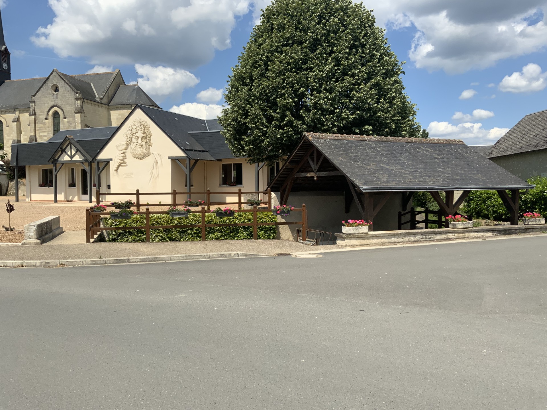
- The village with the church of Saint-Léger (1865), the presbytery and the wash-house (1870).
- Panorama, orientation table. Beautiful views over the Vienne valley and vineyards.
- The footpath joins the GR 48, which is also thought to be the route taken by Joan of Arc on her way from Sainte-Catherine de Fierbois to Chinon.
- Troglodytic houses: these remaining cellars are once again in demand as homes.
- Water tower.
- View of the old château: 14th-century fortress, altered at various times (private site).
- Le Vieux Bourg :
- Covered wash-house
- The cemetery with its beautiful avenue of centuries-old yew trees
- The old church (9th and 12th centuries), listed as a historic monument. This harmonious edifice, built over the Saint-Léger fountain, is typical of early Romanesque architecture in Touraine. Its nave is one of the few well-preserved examples of Carolingian religious architecture.
It also features two Merovingian pillars and a fresco depicting allegiance to Notre-Dame. Visit with charge. - View of the Tesserie manor house, 15th century (private).
- View of the Pigeonnerie farm.
- Enter the forest, a haven for birds, small and large mammals. You can admire beautiful old oak trees and forest orchids...
- View over the Vienne valley and part of the vineyards.
- Briançon dolmen: also known as the ‘Gros chilloux’, a 15m-long monument of Turonian sandstone, part of which is built into the houses.
- Departure : Pierre Alliet square
- Arrival : Pierre Alliet square
- Towns crossed : Cravant-les-Côteaux, Saint-Benoît-la-Forêt, and Chinon
Forecast
Altimetric profile
Recommandations
In the forest
Information desks
1 Rue Rabelais,, 37500 Chinon
Report a problem or an error
If you have found an error on this page or if you have noticed any problems during your hike, please report them to us here:
Source
SPL Saumur Val de Loire Tourismehttps://www.ot-saumur.fr/