
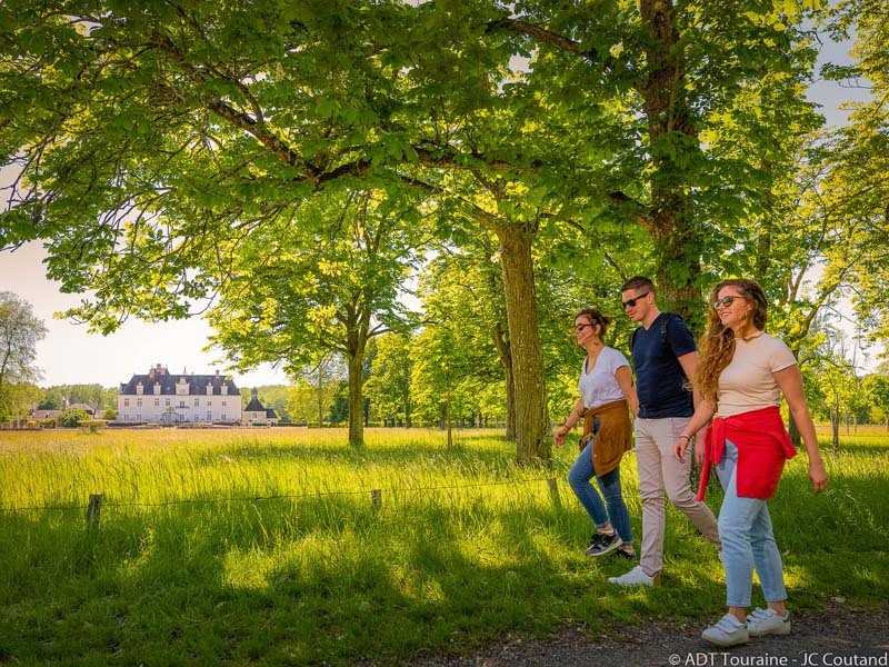
Around the chateau of Champchevrier
Cléré-les-Pins
Around the chateau of Champchevrier
Medium
3h15
13km
+39m
-40m
Loop
Embed this item to access it offline
To see, to discover
- The chateau of Champchevrier
- Rillé lake
Attachment
- Downloadpdf
Topoguide FR-EN De la Chevalerie au château de Champchevrier
Description
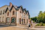
- Place du Champ de Foire
Follow straight along the shell marl-covered path, the result of fossilised marine matter having been buried under the sand for around 15 million years. Continue walking along past the cemetery, and then take the yellow way marked wooded path for about 750 metres. Along the way, admire the magnificent arch formed by the intertwining branches of the trees. At the crossroads, turn left and continue along the broad, well-maintained footpath (through the trees for about one kilometre) - Les Cormiers
Continue straight on to the place known as «Les Cormiers» with its inn, the «Hostellerie Saint-Louis», the seat of a fief where the lords of Champchevrier rendered justice. The three medieval county inns in this village were stops for farmers taking their herds of piglets from the region of Bourgueil to Paris to be sold. Turn right into the small, tarmac road, then immediately left at the first footpath (bordered by trees and grain fields). - Touraine countryside
When you arrive at the crossroads (facing a house with a green gate), turn right and follow the footpath bordered by troglodytic houses typical of the region. At the next crossroads, continue your ramble straight on following the sandy wooded path. - Le Janay
At the crossroads, turn right and go to the place known as «Le Janay». Take the small, tarmac road in the direction of «La Guerrerie». On your way (on the right) you will see one of the curiosities of the region: a «heather lodge» covered with Virginia creeper. These huts, typical of the Touraine region, are built with pine or chestnut posts and covered with heather. They are resistant to bad weather and are often used to shelter farm equipment. At 150 meters from the stop sign, turn left onto the footpath and then cross the road D 34. - Champchevrier woods
Continue past «Les Cartes», «L’Ouaillerie» (another heather lodge) and «La Choquette». Then branch off to the right and follow the large wooded alley toward the chateau de Champchevrier. It is not unusual to see all sorts of animals here: deer, rabbits, squirrels, wild boars, etc. - Château de Champchevrier
Located in the heart of a wonderfully wooded site, the Chateau of Champchevrier was especially appreciated by Louis XIII. With sumptuously decorated ceremonial rooms, tapestries from the 17th century and an impressive array of copper pots and pans in the kitchen, the tour of this site is an unforgettable walk combining nature and cultural heritage. The entrance is located on the left side of the chateau. Otherwise, follow the yellow way-markers to continue your ramble. - Roucherets Lake
At the next crossroads, turn left towards «Les Emotouses», then right 600 metres further on, eventually arriving at the pond «Etang des Roucherets» (where it is particularly enjoyable to make a stop on a hot day). - Boule de fort ball game
Take the path on your right that goes to the stadium. You will go past a place where «boule de fort» is played; a game of skill in which competitors roll their ball (which is flattened on two sides) on a curved floor with the goal of being the closest to the «master» (a kind of jack). Next, cross the road and follow the sandy country road designed for travellers. After 200 meters, turn left and continue in the direction of the «Champ de Foire…» the starting and ending point of your ramble.
- Departure : Cléré-les-Pins Place du Champ de Foire (near the Maison Médicale).(N 47°426053 - E 0°386570)
- Arrival : Cléré-les-Pins Place du Champ de Foire (near the Maison Médicale).(N 47°426053 - E 0°386570)
- Towns crossed : Cléré-les-Pins and Ambillou
Forecast
Altimetric profile
Recommandations
Walking charter
- Cherish and respect nature.
- Listen to it, do not spoil it and do not harm it.
- Stay on the trail and be discreet.
- Do not damage plants or undergrowth.
- Do not smoke in the forest or do not light fires.
- Do not scare animals.
- Do not neglect human contact.
- Respect and get to know this rural world that welcomes you.
Information desks
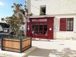
16, pl. de l’église, 37140 Bourgueil
19, rue Thiers, 37130 Langeais
Access and parking
The starting point of this enjoyable 13-kilometre ramble is the «Place du Champ de Foire» (near the Maison Médicale).
Parking :
Car park place du Champ de foire
Report a problem or an error
If you have found an error on this page or if you have noticed any problems during your hike, please report them to us here: