
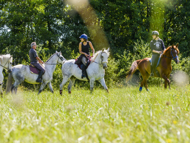
Between forest and glade on a mountain bike
Bourgueil
Between forest and glade on a mountain bike
Medium
3h45
38,9km
+433m
-432m
Loop
Embed this item to access it offline
Attachment
- Downloadpdf
Bourgueil-Gizeux circuit équestre_VTT
Forecast
Altimetric profile
Information desks
16, pl. de l’église, 37140 Bourgueil
19, rue Thiers, 37130 Langeais
Report a problem or an error
If you have found an error on this page or if you have noticed any problems during your hike, please report them to us here: