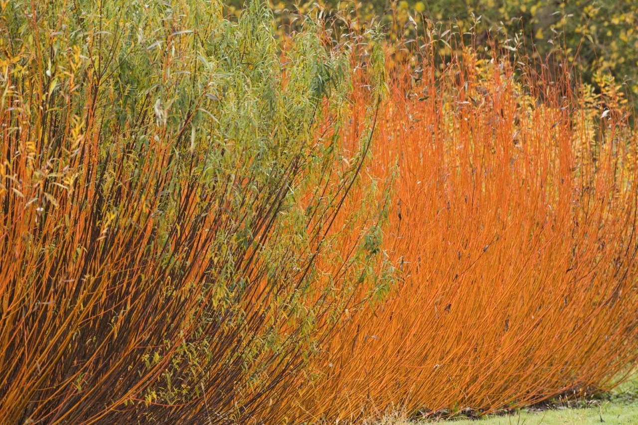
Discovery trail - Once upon a time, there was wicker

Villaines-les-Rochers
Discovery trail - Once upon a time, there was wicker
Medium
2h
5,2km
+74m
-74m
Embed this item to access it offline
The history of Villaines-les-Rochers is intertwined with that of basketry. Today, the village is France's largest basket-making center. Follow this trail to discover wicker and the work of basket makers.
From the Place de la Mairie, follow the signposts to learn more about this age-old craft, which has always been capable of renewal. At Station 1, step back in time to discover the origins of basket-making.
Continue on to the bucolic Jolivet valley, dotted with troglodytic dwellings. With each stop, you'll learn all about the work of the basket-maker and the cultivation of wicker.
Attachment
- Downloadpdf
Il était une fois l'osier
Description
Place de la mairie, go to the starting station near the cornucopia.
Follow the red arrows on the wooden posts from station to station.
Follow the red arrows on the wooden posts from station to station.
- At the start station, turn right and discover the 1st station in front of the town hall. Continue right for 240m.
At the intersection, turn right into rue de la Rebardière for 160m, then left into rue de la Cheneillère. At the Vannerie cooperative, you'll find the 2nd station. Continue along rue de la Cheneillère for 220m. - Turn right down into the park, where you'll find the 3rd station, then the 4th. Exit opposite, onto rue de la Galandière.
- Turn left onto this road. At the intersection, turn left into rue Le Grand Perque, then right into rue de la Vallée for 60m.
- Turn left up the small road. Follow the road to reach the 5th and then the 6th station. Go back down to join rue de la Vallée.
- Turn right and drive 250m. Turn left onto rue de la Cheneillère and cross the bridge. At the end is the 7th station. Retrace your steps, cross the bridge again and turn left to continue along rue de la Cheneillère for 190m. At the intersection, turn left onto rue de Jolivet. Continue for 90m to reach the 8th station.
- At the 8th station, continue straight on rue de Jolivet for 850m. At the intersection of two tracks, take the one on the left. Continue through the fields, following the red arrows for almost 750m. Discover the 9th and first part of the 10th station along the way. Turn right onto a small road. At the intersection, continue straight ahead for 600m. Here you'll find the second and third parts of the 10th station.
- Turn off at rue de la Cheneillère, opposite the Coopérative de Vannerie. Turn right and continue for 70m, then turn left to cross the bridge. Turn right on rue des Marchés and continue to Place de la Mairie, back to the starting point.
- Departure : Place de la mairie
- Arrival : Place de la mairie
- Towns crossed : Villaines-les-Rochers, Cheillé, and Avon-les-Roches
Forecast
Altimetric profile
Information desks
15 Avenue de la Loire, 49730 Montsoreau
Report a problem or an error
If you have found an error on this page or if you have noticed any problems during your hike, please report them to us here:
