
Sentiers des Varennes
La Chapelle-aux-Naux
Sentiers des Varennes
Easy
2h
7,1km
+27m
-27m
Loop
Embed this item to access it offline
Attachment
- Downloadpdf
CHAPELLE_AUX_NAUX_sentier_varennes-2025-IMPR
Description
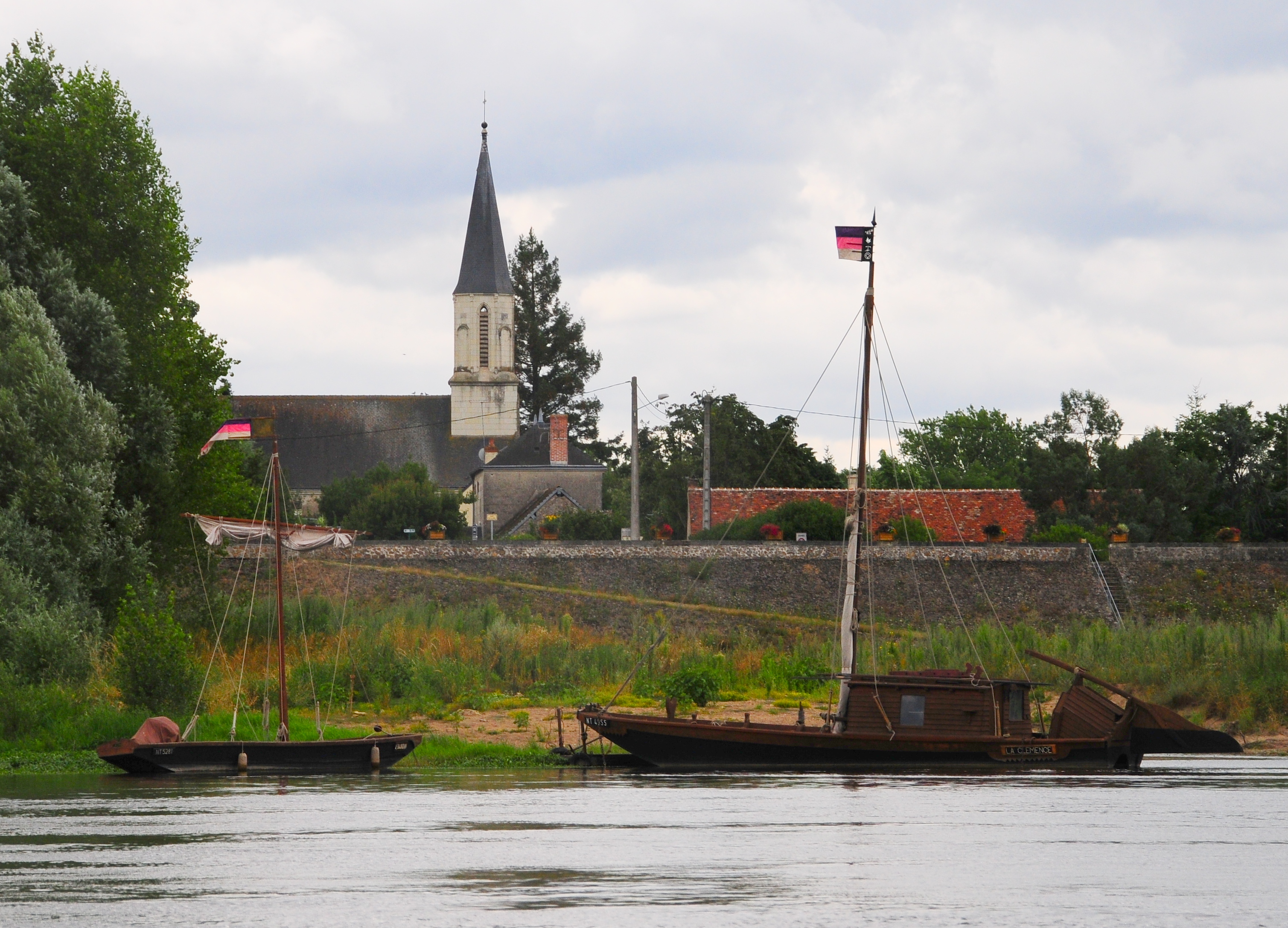
- Saint-Clément church
Built in 1855 in neo-Gothic style to replace the old one, destroyed by a flood in the Loire. It houses a Limoges earthenware statuette of Saint-Clément, patron saint of bargemen. The statuette bears witness to the commercial exchanges that animated boat traffic on the river, and fed the activity of the port of La Chapelle-aux-Naux. Of particular note is the church's ceiling in the shape of an upside-down ship's hull. - Port
A former fishing and trading port on the Loire. A Natura 2000 bird sanctuary can be seen from the levee. The aim of these zones is to take greater account of biodiversity issues in human activities. These sites are designated to protect a certain number of habitats and species representative of European biodiversity. Explanatory panels describe birds such as the Pierregarin Tern with its red beak and legs, the Little Tern with its yellow beak and legs, the Common Sandpiper, the Seagull and the Gravelot. The real heritage of La Chapelle-aux-Naux is first and foremost the Loire landscape, which can be admired along the four kilometers of levees lining the river. This road, which runs from Villandry to Bréhémont and Rigny-Ussé, has become a much sought-after link route for cycle tourists. The view of the Loire is even clearer now that the levees have been cleared as a result of the work carried out to reinforce the valley. From the levee, many birds are within sight, green islands, golden sandbanks, the river has preserved its ever-changing landscapes with the seasons and the light. - Old levees on the Vieux-Cher
They are no longer of use in the event of flooding, having been levelled in places. A valve, operated by hand as needed, irrigated the commune's extensive network of ditches. On the wall of the town hall, you'll find a remarkable flood mark dating from 1866.
- Departure : Multi-purpose hall parking lot
- Arrival : Multi-purpose hall parking lot
- Towns crossed : La Chapelle-aux-Naux and Bréhémont
Forecast
Altimetric profile
Information desks
4 Rue du Château, 37190 Azay-le-Rideau
Report a problem or an error
If you have found an error on this page or if you have noticed any problems during your hike, please report them to us here: